// 2026-08-05 · Maps & Exploration · by Bob Smith
MapChart: Color In Your Own Maps and Export Them
MapChart lets you click countries, states or regions to color them, add a legend and title, then download the finished map as an image. No account needed.
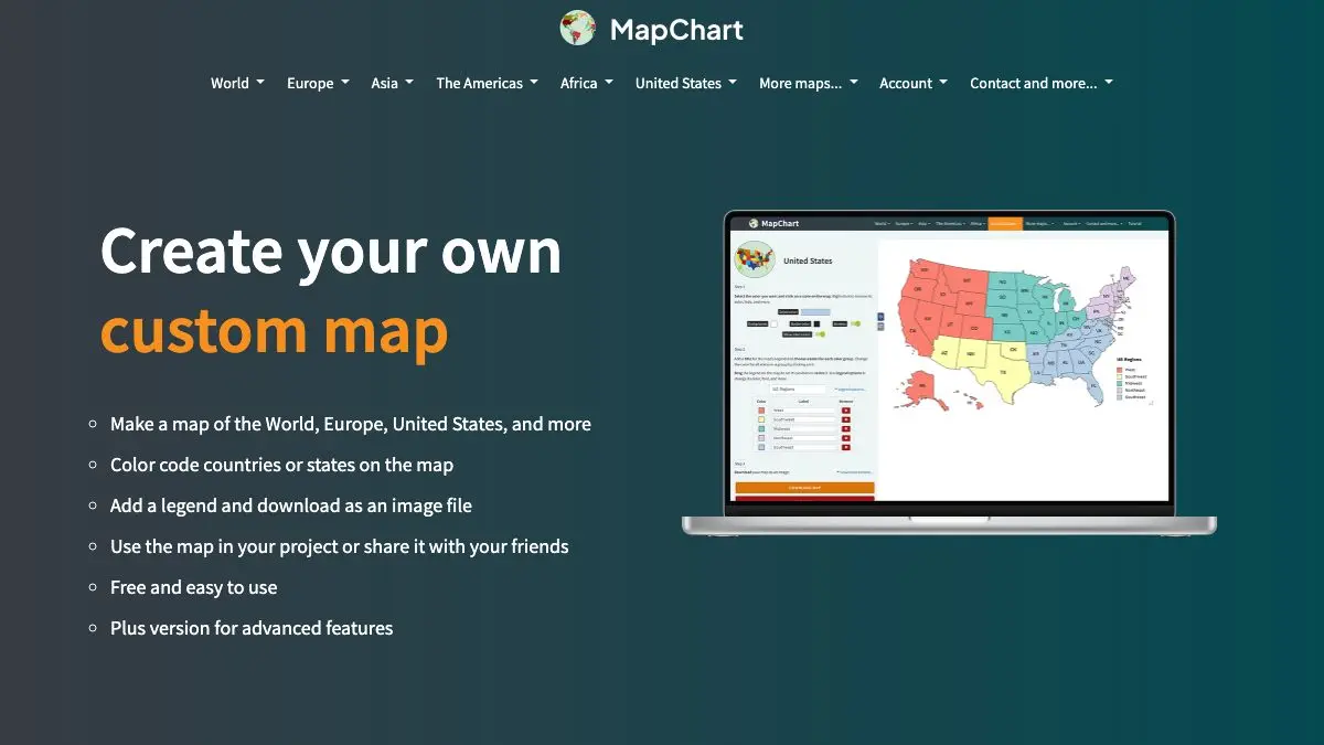
MapChart exists because at some point everyone needs a map with certain countries colored in, and every available option is either a full GIS package or twenty minutes of losing a fight with a vector file in an image editor. MapChart is the third option: click a country, it turns blue, done.
You will open it to make one quick illustration. You will emerge forty minutes later with a color-coded map of everywhere you have ever been, sorted by whether you would return.
What is MapChart?
The core idea is almost aggressively simple. Load a base map, define a few groups with colors and labels, then click regions to assign them. The legend builds itself from your groups. Add a title, tweak the border color, and export.
What makes it more than a toy is the breadth of base maps. There is the world by country, obviously, but also individual countries broken down by their own administrative divisions: provinces, states, prefectures, departments, counties. There are US maps at both state and county level, continent maps, and a set of historical world maps for various periods, which is a genuinely uncommon thing to find in a free tool.
The output is designed for the places these maps actually go. A clean image file that drops into a slide deck, a blog post, a paper, or a forum thread without further editing. Everything renders as vector shapes underneath, so the result stays crisp rather than turning into a JPEG smear.
There is a reason MapChart images are everywhere on the internet. If you have ever seen a color-coded map in a Reddit thread or a Wikipedia edit, there is a decent chance it came out of here.
The paid tier removes the watermark and adds more map types and options, but the free version does the whole core job. You can make and download a complete, legible, custom map without so much as an email address.
What can you do with MapChart?
- Color regions by clicking them. Set up a color group, then click every country, state or province that belongs in it. The legend updates as you go.
- Choose from a large set of base maps. World by country, individual countries by internal subdivision, continents, US states and counties, and historical maps.
- Build a legend automatically. Name your groups and they appear as a legend beside the map, which is the fiddly part in any other tool.
- Add a title and subtitle. Straight into the exported image, so you are not compositing text afterward.
- Adjust borders and background. Change border colors, thickness and the background so the map matches whatever it is going into.
- Save and reload configurations. Come back and change one country without redoing the whole thing.
- Export as an image. Download and paste it wherever it needs to go.
- Use the patterns and hatching. Useful for indicating disputed, partial, or “data unavailable” regions without inventing a color for them.
Tips to get the most out of it
Pick your colors before you start clicking. Assigning a group and then deciding you hate the shade means going back through the palette while the map is already half filled. Two minutes of planning saves ten.
Use a sequential palette for ordered data. If your groups represent a range, light to dark reads instantly. Rainbow colors on ordered data force the reader to keep consulting the legend, which defeats the point of a map.
Save the configuration, always. You will want to change something. Everyone changes something. Saving takes one click and rebuilding takes twenty minutes.
Add an explicit “no data” color. Blank regions read as zero to most viewers. If a country is uncolored because you do not have information about it, say so in the legend.
Check the historical maps. They are easy to miss and genuinely useful for anything involving how borders used to look, which is otherwise a painful thing to illustrate.
Watch out for tiny regions. Small island states and micro-territories are hard to click and even harder to see in the export. Zoom in to assign them and consider whether they need a callout.
If you like MapChart, also try…
- The True Size Of: drag countries around a projection to see how badly Mercator has been lying to you.
- OldMapsOnline: historical maps of any place, if you want the real thing rather than a modern rendering.
- Coolors: generate a palette that does not look like a spreadsheet default before you start coloring.
- Information Is Beautiful: a masterclass in what to do with data once you have mapped it.
More cartographic distraction in Maps & Exploration, and more making-things tools in Design & Creativity.
Frequently asked questions
What is MapChart?
MapChart is a browser tool for making custom colored maps. You pick a base map, click on countries, states or subdivisions to assign them colors, label the groups in a legend, and then download the result as an image file. It covers world maps, individual countries broken down by administrative region, US states and counties, and a set of historical maps.
Is MapChart free?
Yes, the main maps and the export are free to use with no account required. There is a paid tier that removes the watermark and unlocks additional maps and features, but the free version is fully functional for most uses.
Can I save a map and come back to it later?
Yes. MapChart lets you save your configuration and reload it, so you do not have to re-click 190 countries if you want to tweak one color. Exports are also available as image files for use in documents, slides and posts.
What can I use MapChart maps for?
People use it for presentations, school and university work, articles, wiki illustrations, travel tracking and internet arguments about which countries have done a given thing. Check the site's own terms for the specifics of commercial use and attribution.